Historical Maps and Resources
Library of Congress:
1850 Map of Dutchess County, including homesteads of early Union Vale Residents.
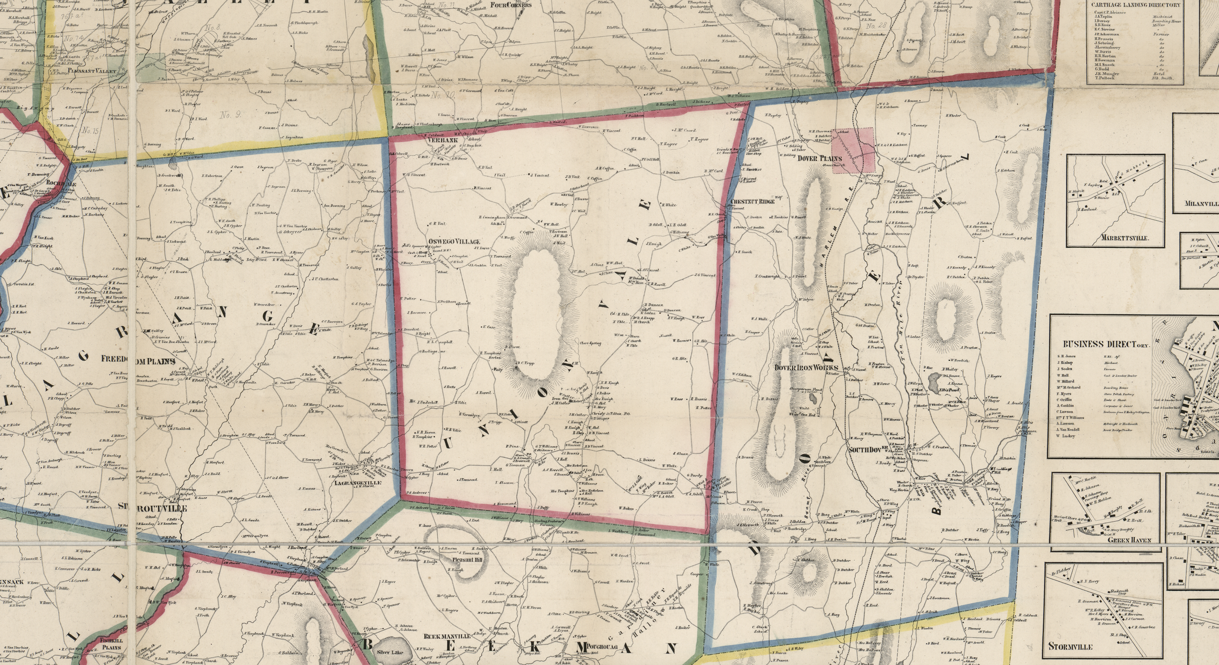
1858 Map of Dutchess County, map showing rural buildings, householders' names, and unidentified large land tracts (some numbered, some with owner's name, some with acreage).